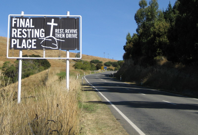
New Zealand 2/2007
36 locations were considered for the Jewish people, as a substitute for Israel. New Zealand was not among them.
(אליהו בנימיני, מדינות ליהודים, הקיבוץ המאוחד, 1990).
To find out why, we embarked on a trip in February 2007. Here is our report.
Contents:
History (short)
Abel Tasman Park and the north
Central South Island and The East
About 1200, Polynesian Maori from the Cook Islands and Tahiti made it by Canoe to New Zealand. The country had no predators, and some unique animals. The Maori spread all over New Zealand, forming dozens of tribes and hundreds of sub-tribes.
Around 1640 Abel Tasman, a Dutch captain, found New Zealand but left following a skirmish with the Maori. In 1769 James Cook and Jean de Surville managed to make more permanent links. Maori and Pakeha (whites) coexisted, with some trouble, and more trouble between Maori tribes. In 1840 the British and many Maori chiefs signed the Waitangi treaty, making Britain the sovereign.
Our first encounter with the Kauri trees was at the Parry Kauri park. New Zealand Kauris are the largest - and our first example turned out to be rather average.

At the bay of Islands we did some hiking, and visited Waitangi (see History).
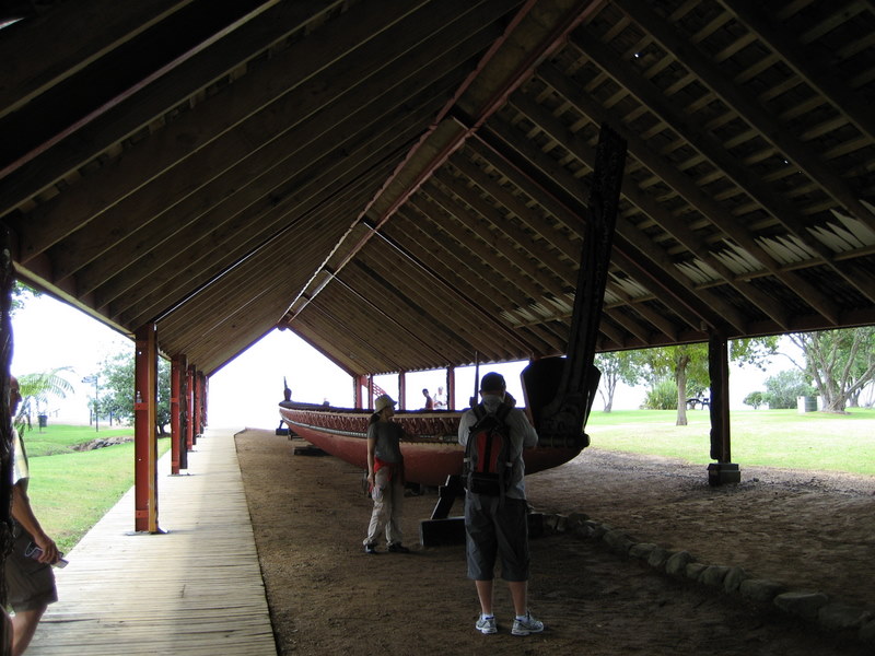
The war canoe was created in the traditional way in 1940 to commemorate the 100th anniversary of the Treaty of Waitangi. It was constructed from two (large) Kauris.
A traditional Maori meeting house was build on the grounds at Waitangi.

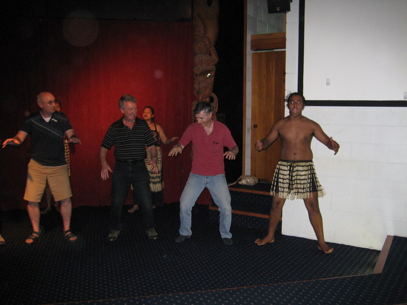
We enjoyed a Maori performance, and were taught the basics of their war-dance (useful!)
Here are more pictures of the Bay of Island area.
From here we drove to the
west coast of the North Island.
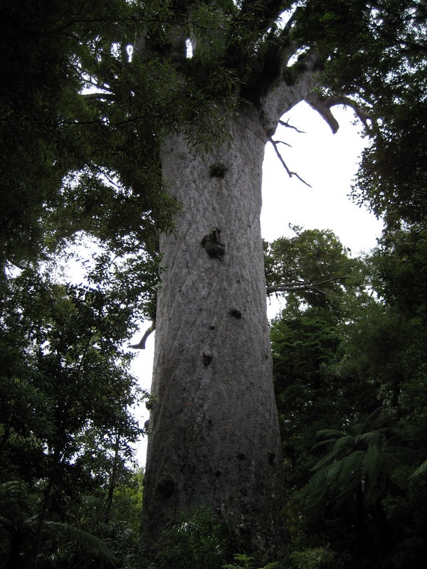
The Waipoua Kauri forest is a magnificent display
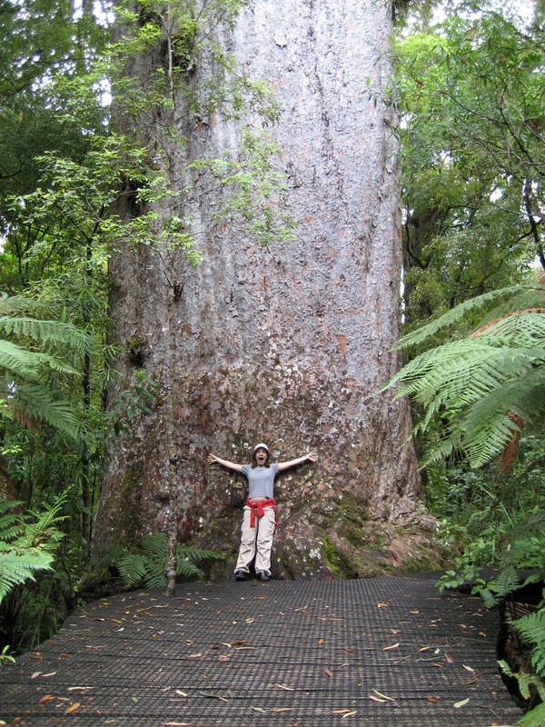
of these trees. Tane Mahuta is one of the largest. To get an idea of their size, watch Shuli next to
"Yakas": its 44m tall.
Here are more pictures from this forest.
The Kauri museum in Matakohe shows how these
trees were processed and used. The machines are not large enough for the trees, so some
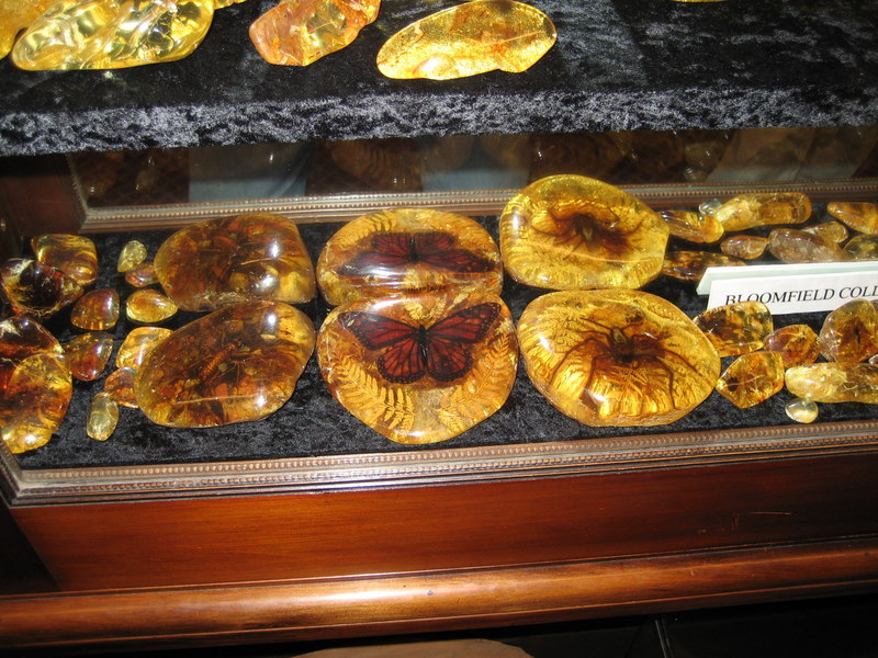
initial cutting had to be done in the field. Gum from the trees was valued - partly for
decoration.
Here are more pictures from the museum.
After a short visit to
Auckland (see pictures) (including a
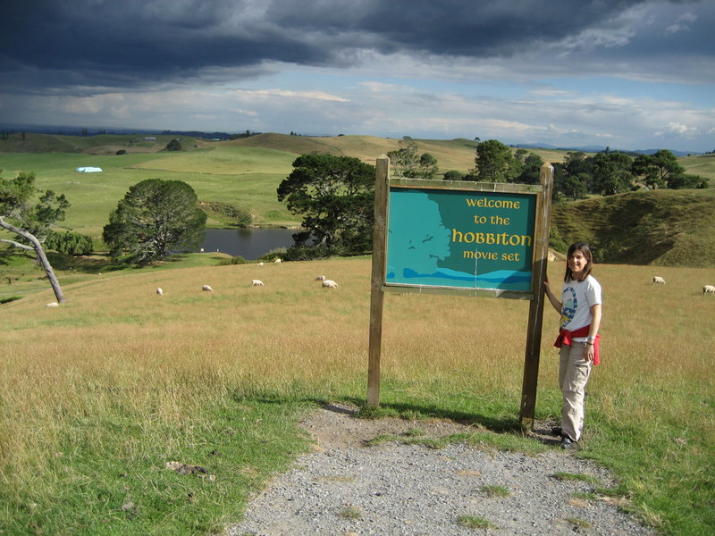
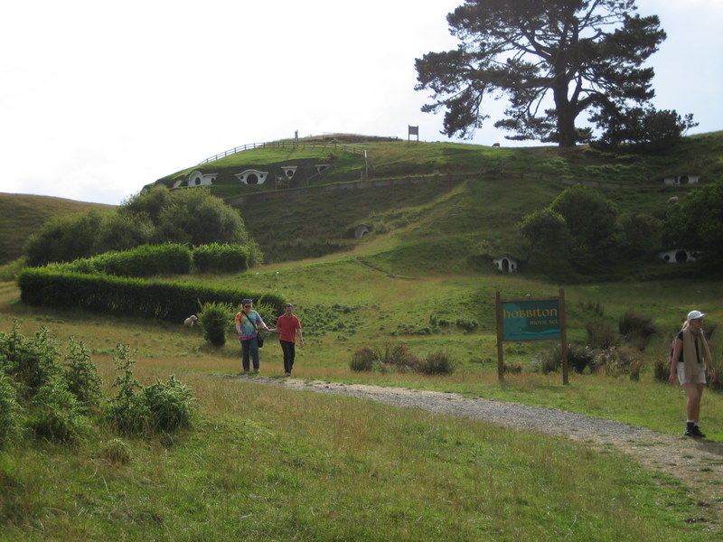
wonderful museum) we headed south. We could not resist a visit to Hobbiton.
More pictures from Hobbiton.
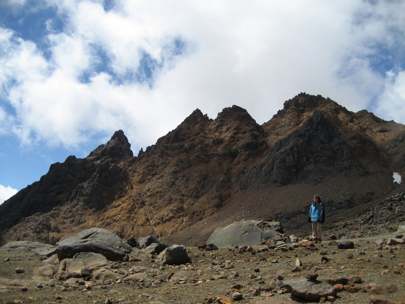
The volcano Mt. Ruapehu - in the Tongariro
national park - also looks like a "lord of the rings" movie location.
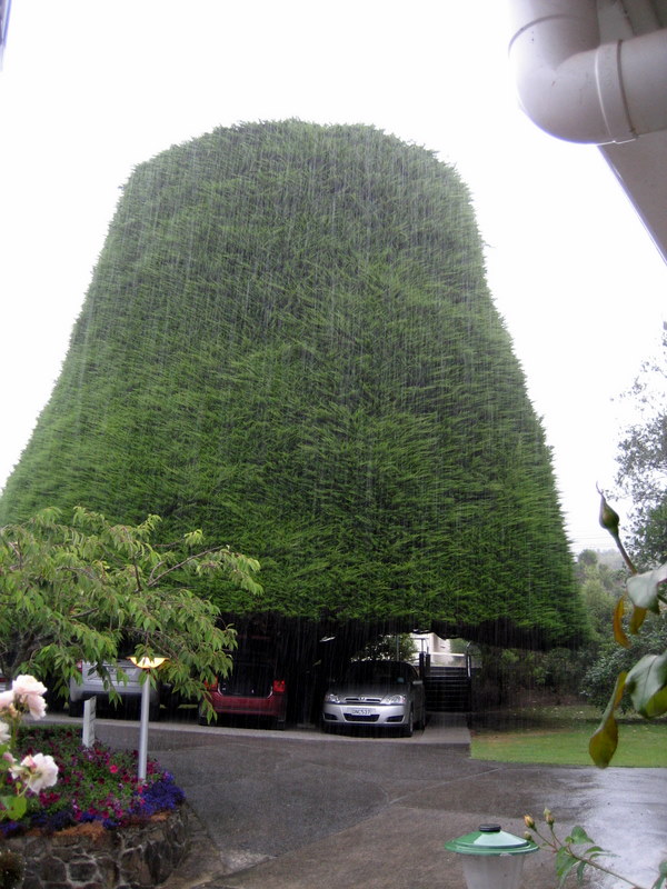
Heading south, we parked out car under a tree
and then took the
ferry to the South Island through Cook's straights.
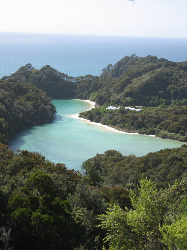
Abel Tasman Park and the north Following a beautiful ferry ride we headed to the
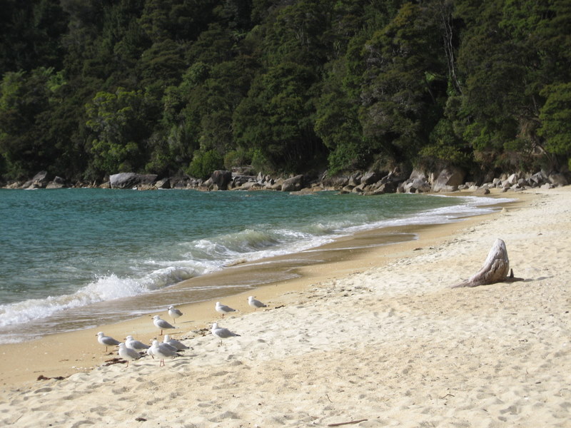
Abel Tasman National Park. A "water taxi" took us from Motueka and the split egg to Bark Bay. From there we walked in the forest, and looked
down at the beaches and lagoons. We spent most of the day along the
Abel Tasman Coastal Track
- covering just a small part of it.
Before heading south we hiked to
Harwood's hole and to Pu Pu springs (really! see sign).
Following a visit to
Buller gorge,
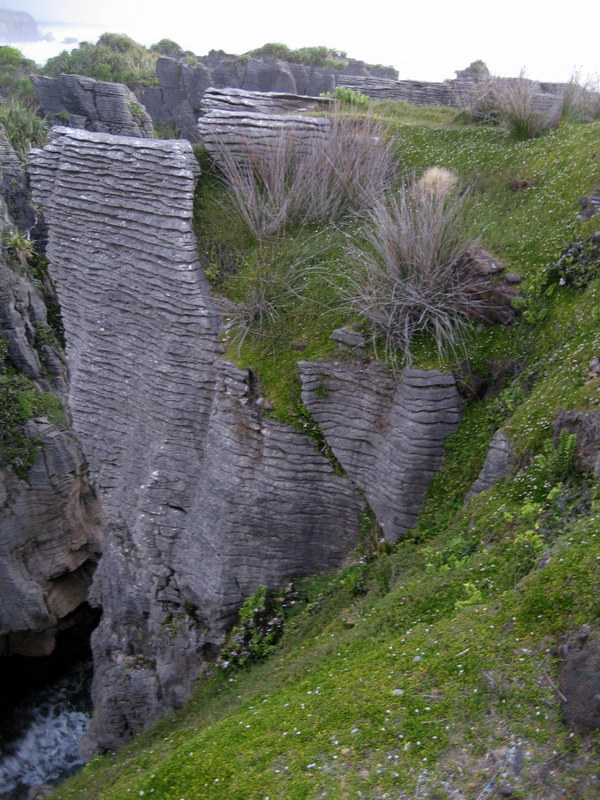
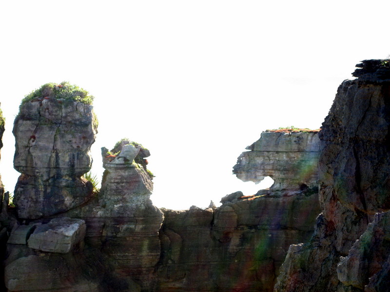
we arrive to the pancake rocks which, in addition to the pancake formation,
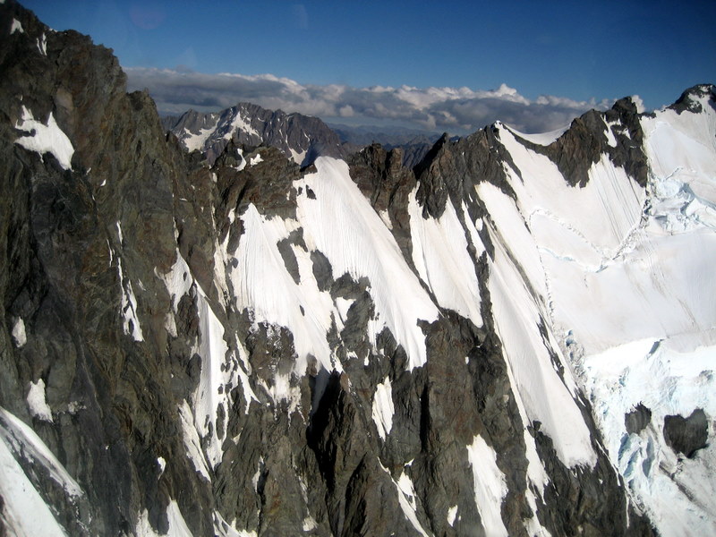
exhibit some other weird rocks. And now to a main highlight-the glaciers of the
west coast. The Franz-Josef glacier is 5 km deep, collects 50 meters of snow per
year(!) and is still growing. It is one of two locations in the world where a
glacier meets a rain forest. You get an idea of size by taking a helicopter
flight. If you intend to hike in this area (bad idea) you
can spend the night in one of the huts provided by the department of conservation (this
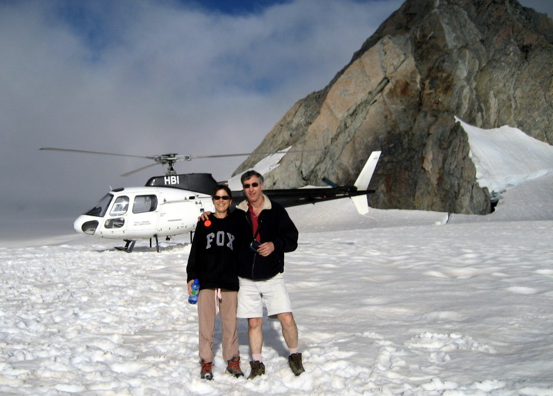
is not a joke). The helicopter landed us on the top of the glacier, to get a
feel for it.
This
was spectacular!
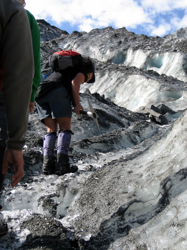
It is equally worthwhile to hike up (part of) the
glacier. The guide works hard carving steps so that the rest of us can have a
safe path. Even so, its quite tricky. The views from the glacier are spectacular. The
ice is mixed with ground rocks-the pressure of the ice grinds the rocks into
pebbles and powder.
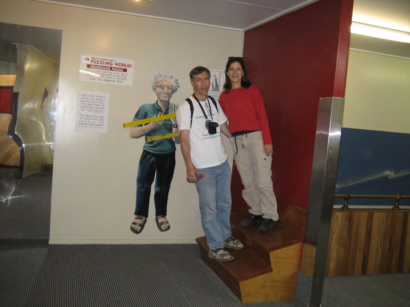
For a short respite from nature we stopped at
"puzzling world"
in Wanaka. Next comes Fiordland. Our first track here is
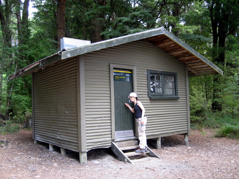
part of the Kepler track, out of Te Anau. We went as far as Shallow Bay hut. This one sleeps 6, is maintained by the
department of conservation, and requires reservation (6 months in advance)
during summer months. Its kept clean and in perfect shape, in part since
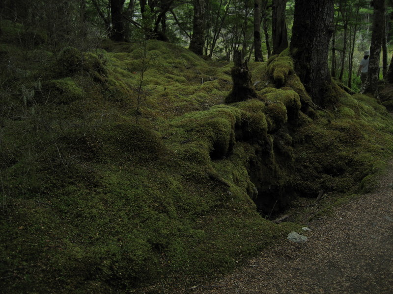
travelers (including those from Israel) keep it so. Back to the "Lord of the Rings," if you saw the
movie and thought some parts are computer-generated, here is something from real
natural New Zealand - still on the same Kepler track.
We spent a day on the road from
Te Anau to Milford.
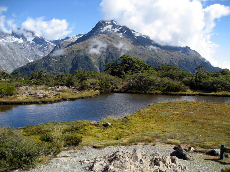
The mirror lakes track provides views that are
either unreal or beautiful, depending on your vocabulary. One of the highlights of fiordland is Milford.
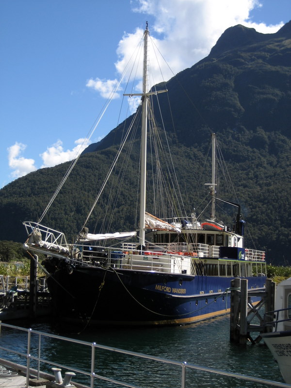
While we did not take the famous Milford track (which requires prior
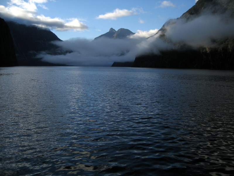
reservation) we took an overnight cruise in the "Wanderer". This was more fun than we expected, including
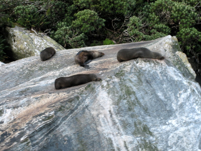
some Kayaking, great company of people and animals such as seals great views of the Milford sound and some views which I lack the superlatives to
describe.
Heading south, we followed the
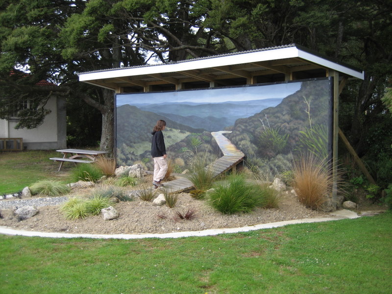
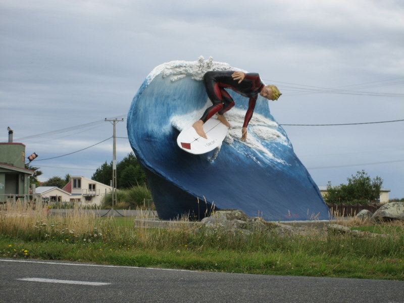
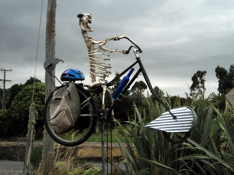
scenic roads and found people are quite creative, at least in Tuatapere but also elsewhere. This was a fun place of a very
creative guy. We finally found a "black sand"
beach. In the relaxed south, people seem to
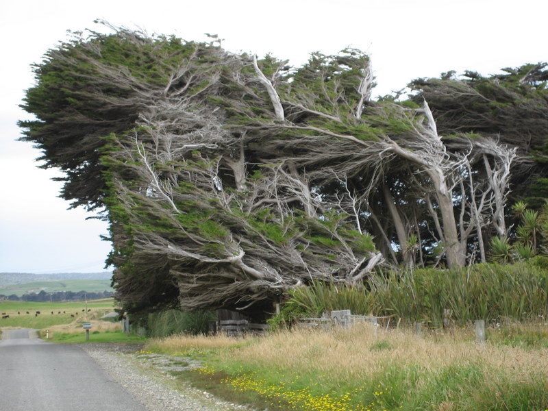
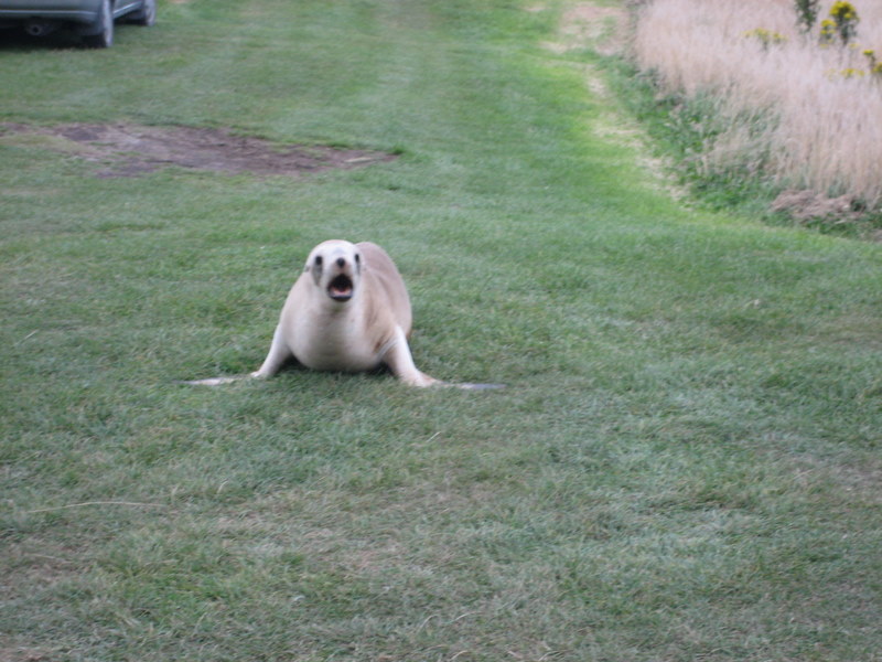
have a sense of humor (read the sign). The wind has a major effect here. In Porpoise bay, a seal decided to
go for a stand-up show. Here is a
clip of the stand-up. Slope point is the south-most point
in New Zealand. In the south, specifically in the
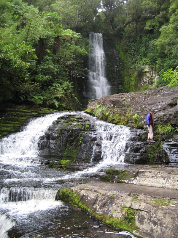
Catlins, people drive all sort of things and also smaller things. Mclean falls are just one place
which is simply beautiful.
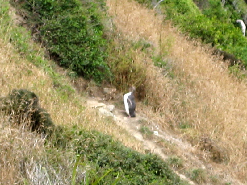
Nugget point has some unexplained rock formations. In nearby Roaring Bay we finally saw
some Yellow-Eyed
Penguins.
(although everyone keeps his
distance so as not to disturb the Penguins). Roaring Bay is beautiful even
without Penguins.
The Catlins are somewhat underrated: we recommend highly.
Passing through Dunedin we had to
climb
Baldwin Street
- the steepest street in the world. From there we drove through
Shag Point to
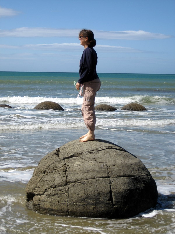
Moeraki Boulders.
How the Moeraki Boulders were
created is still a mistery. There are quite of few of them here.
Central South Island and The East
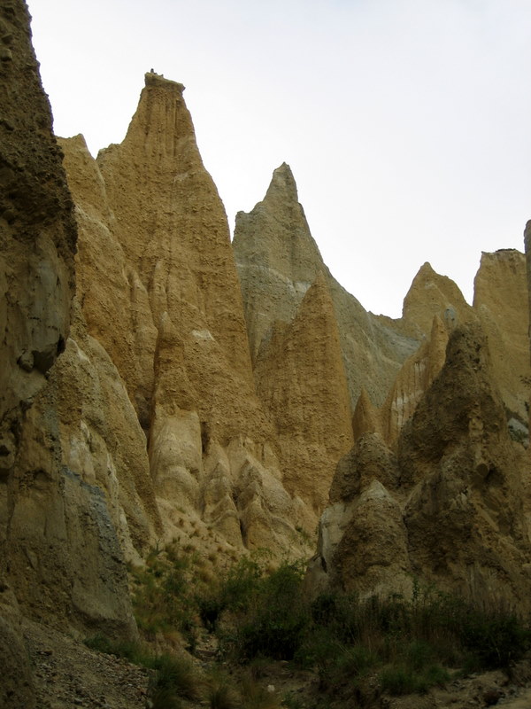
The
Clay Cliffs are a strange
formation. We passed lake Pukaki on our way to
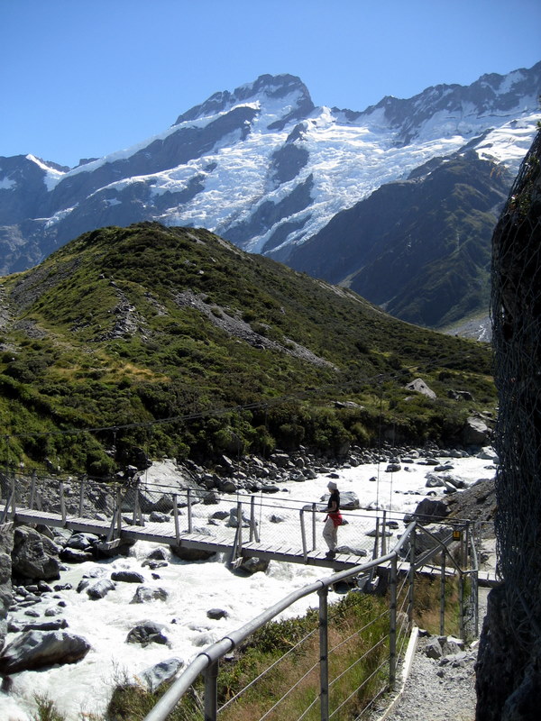
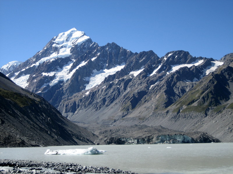
Aoraki - Mount Cook.
We took the Hooker Lake track Hooker lake is fed from a glacier
which you can see at the far end of the lake. There a pieces of ice floating on
the lake, and water temperature is great if you would like to sell lemonade. We passed through the beautiful
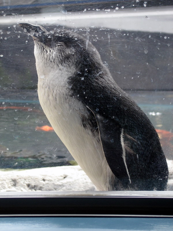
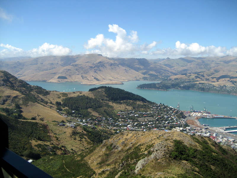
Banks peninsula and Aoraki on our way to Christchurch. The international Antarctic Centre
(New Zealand Spelling) is a great place to visit - and you can see Blue
Penguins
(all were injured and brought in for treatment, and I guess they like it here). Here they are during a
committee meeting. We found New Zealand to be a
beautiful country, great for anyone who likes hiking. The people are happy,
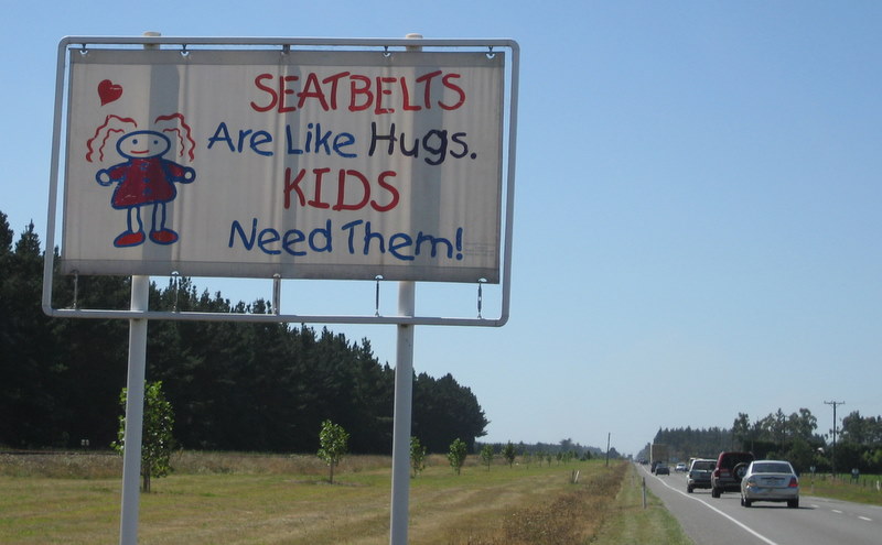
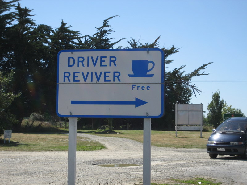
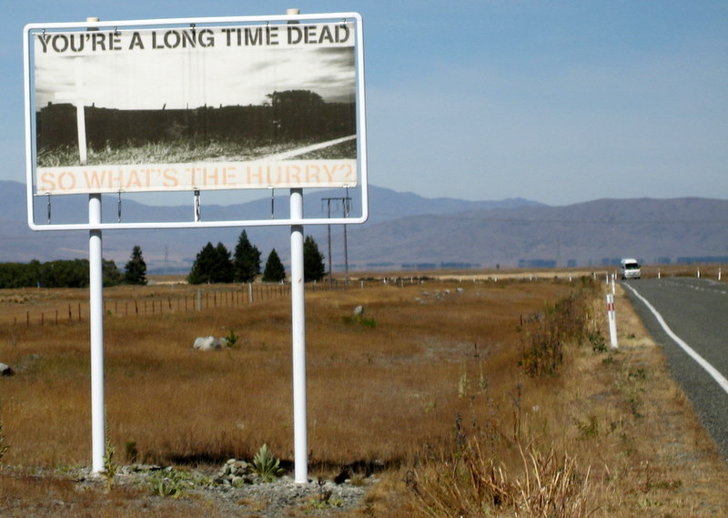
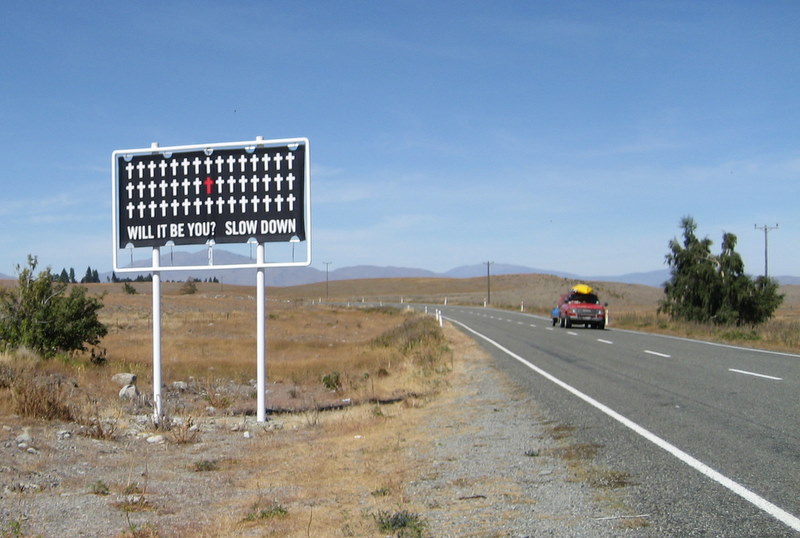
friendly, patient, and with a sense of humor. Even their efforts to reduce
accidents are in good taste, and effective because they are attractive. They claim this campaign was quite
effective. So here is a score card. Pros: Great hiking Great people Clean country Lots of rain, lots of milk, lots of
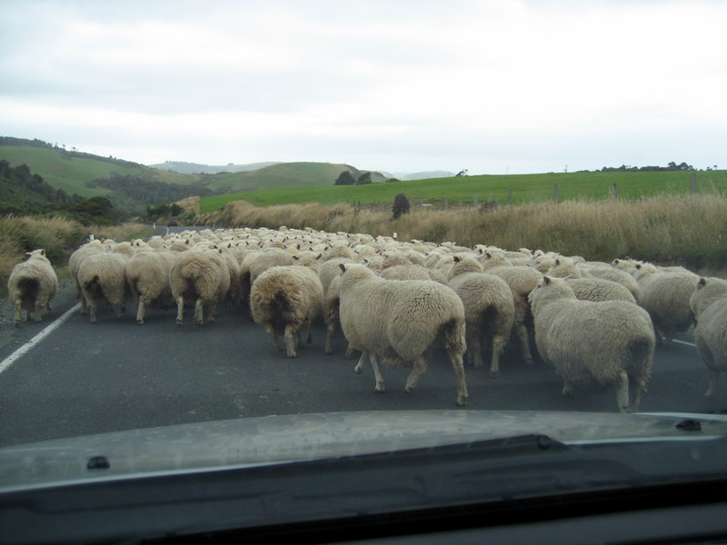
honey, lots of steak, lots of fish. Cons: Nothing happens (except Rugby and
Sheep). Conclusion: Herzl was way off the
mark! 